|
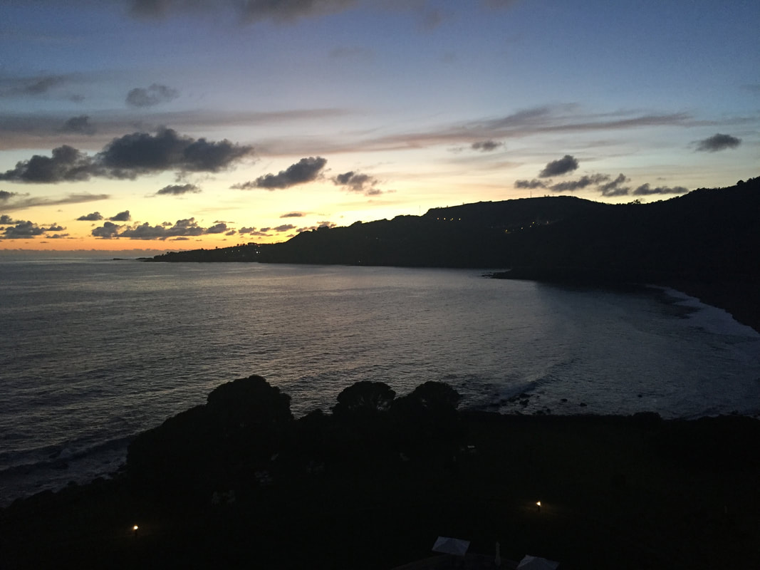
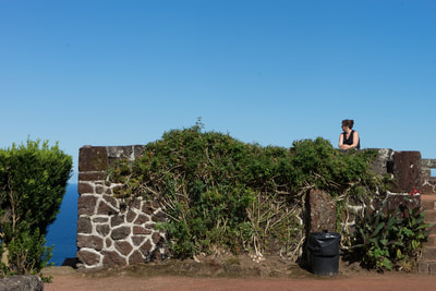
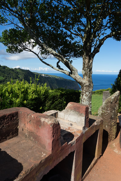
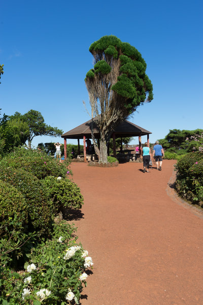
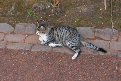
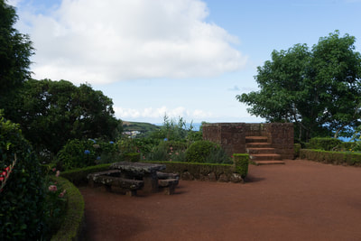
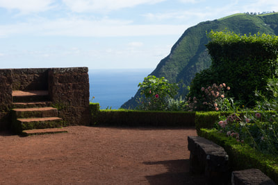
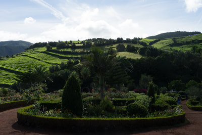
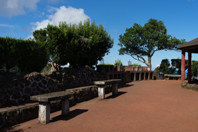
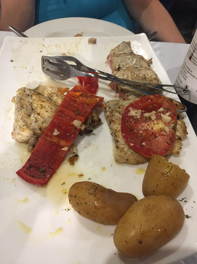
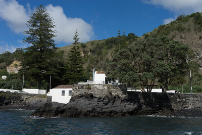
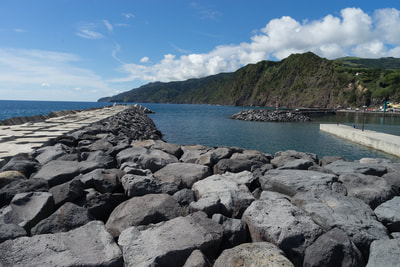
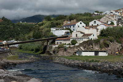
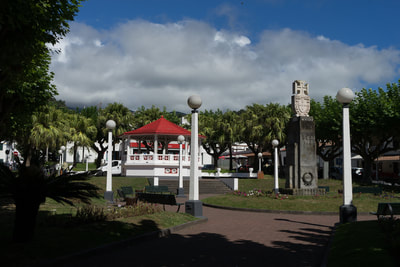
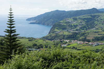
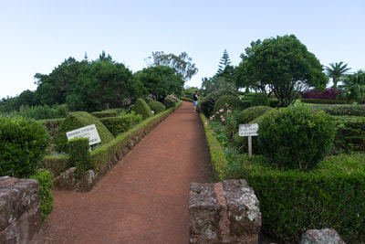
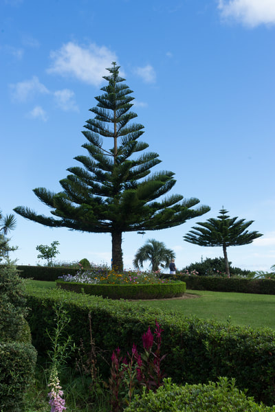
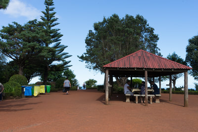
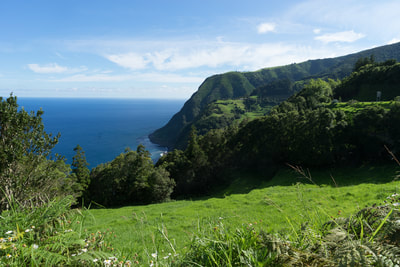
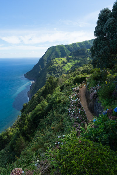
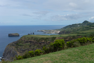
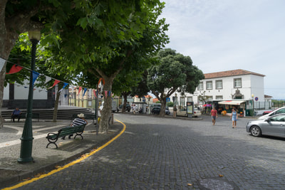
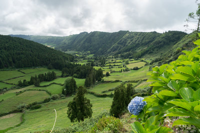
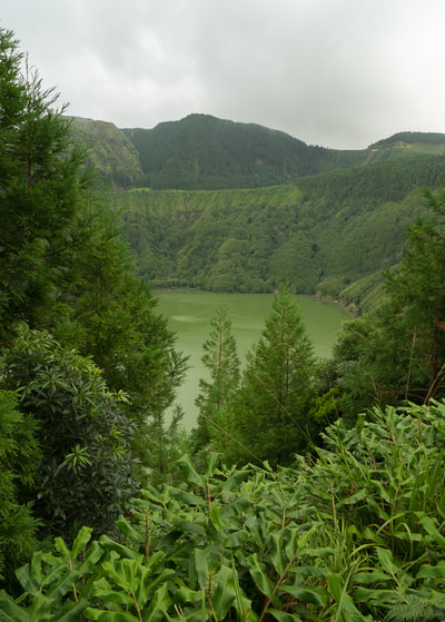
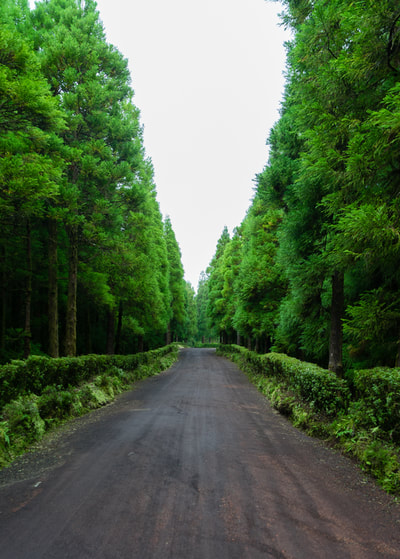
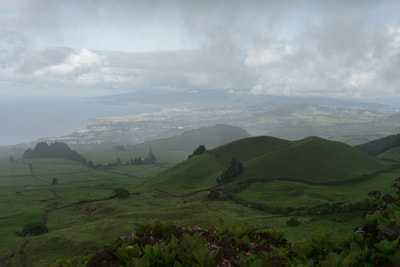
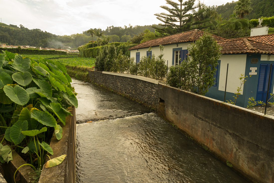
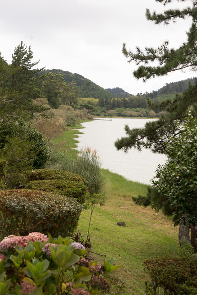
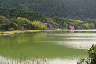
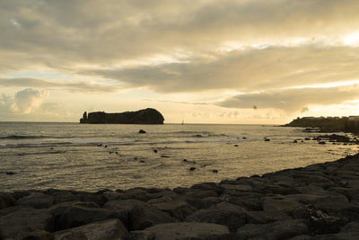
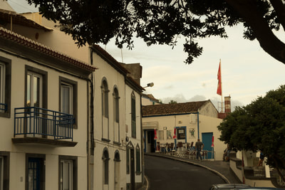
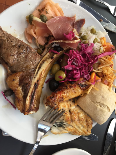
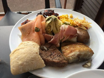
David here.... I thought upon return home I would put forth some observations of my own (and more photos) on the Azores, Sao Miguel in particular. Sao Miguel — The IslandUndoubtedly, Sao Miguel (and I assume the rest of the Azores) is one of the all around most beautiful places we have visited. Greener (and a bit warmer on the whole) than Ireland; beautiful beaches; dramatic volcanic mountains and lakes; lovely European/Portuguese villages; great road; lots of parks; flowers everywhere; friendly people who for the most part know some English; hot springs; local cheeses, wine, fruit, fish and beef; and so on. But the best part is how the people of the island appreciate the treasure they have, and the pride they show in it. Roads are carefully built and maintained to the finest detail of drainage, the ever present parks with their stone picnic tables and grills, pavilions and gardens, and of course the ever present view of the sea, mountains, village or forests and pastures, are used by both tourists and island families. We noticed how crowded they were on Sunday afternoon after church (Portuguese/Catholic). Each one had it's own squadron of feline guardians and caretakers... The weather: April through the end of September is generally more dry and sunny, but as an island in the middle of the ocean, showers are always possible. In mid-September it was mid 70's each day; upper 60's each night, with a few scattered showers among the sun filled days. Off-season, there is more rain and less sunlight, but it never goes below 40-45F at night, and in the 50's and 60's during the day. The FoodSimple and Fresh. If you're looking for all ethnic varieties of restaurants, or to have those varieties adapted to the local menus, you won't find a lot of that here. What you will find is FRESH fish, FRESH beef, LOCAL cheeses and breads and fruits. Prepared simply. Grilling is a passion. Seafood or fresh fish caught within yards of the restaurant....you got it. Grilled with olive oil, lemon, garlic and herbs. How We Came to Go ThereWhen we were planning a trip last year, our first thoughts were of Iceland, a photographer's dream. Along the way during planning, I noticed a small group of islands much further south in the middle of the Atlantic ocean, but part of the same mid-Atlantic mountain range. They were the Azores. So I looked it up on google, and looked at images. Then I met a few people who had been there and said how wonderful it was. So we looked at maybe going to Iceland, then flying to Azores and then back home. But you can't really do that unless you want to spend a fortune and go through a country or two in Europe (or back to Boston in between). Of course, since every photographer I knew had been to Iceland or was going there, I really wanted to go somewhere similar, but different (and less traveled), hence our trip to Sao Miguel. Options were great, inexpensive and looked beautiful. Less than five hour flight from Boston. So that's how we got there. About PhotographyAs I just mentioned, Iceland is a photographer's dream. Incredible landscapes and culture, AND it seems to always be the "golden hour" (low light on the horizon) because it's so far north. Our trips to the Caribbean are to beautiful places, but not great for photography because the sun is always so strong and high in the sky. Dawn and dusk are brief. In the Azores, which are about the latitude of Portugal (or Virginia), has a better range of light than the Caribbean. Maybe not quite as good as Iceland, but add the humidity, fog, clouds and different altitude climates, and it's pretty darn wonderful. Kind of like mixing Maine and Oregon. The main frustration that I had, as a photographer, was the pure abundance of incredible subject matter. I have to go back and spend more time exploring smaller areas. We would be driving on the way to someplace we heard was spectacular going through towns and environments that I could have easily spent a full day or more at working with the camera, and not even stopping. If we stopped we would have seen very little of the island. As a first trip there, we instead had a great overview. Someday I'd like to go back to that little seaside village on a steep mountain, or that volcanic lake surrounded by temperate rain forest. For now, week's sampler will have to do! So I will leave you with a few last photographic images of Sao Miguel, Azores...
0 Comments
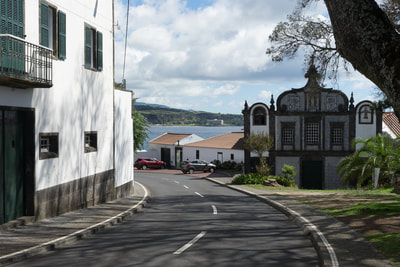
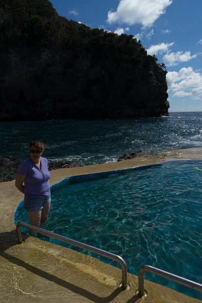
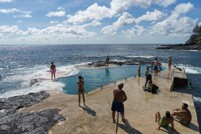
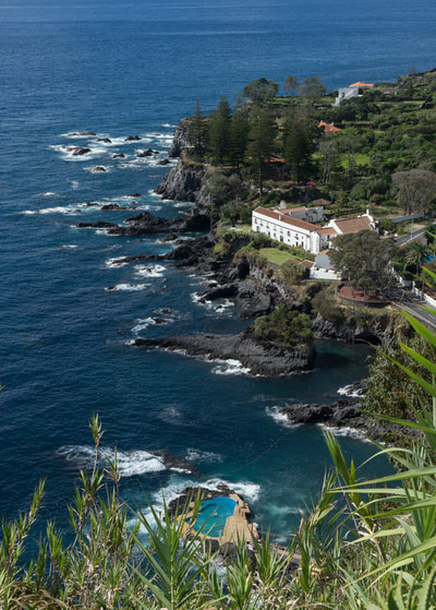
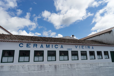
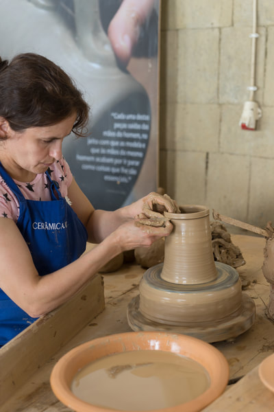
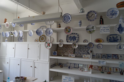
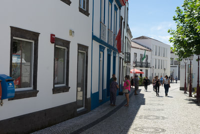
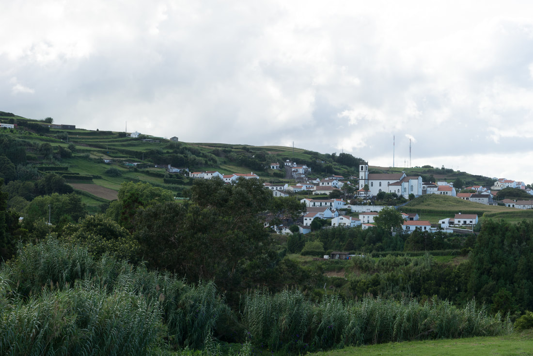
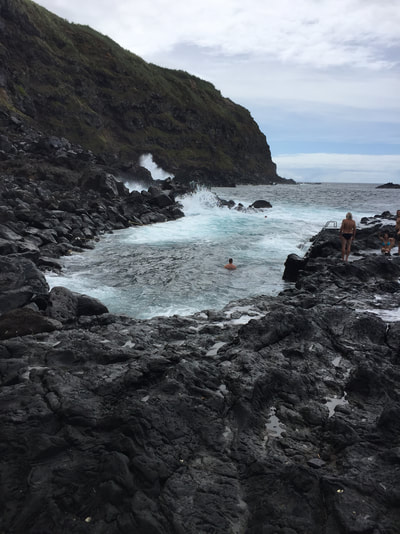
Today being our last full day here we decided to stay more local. We headed out shortly after breakfast to explore the villages and places near our hotel that we have missed along the south shore. We started at Ribeira Cha. This is a small village on the hillside that we have been able to see from our place. It looks small from afar but one thing I have learned about the villages here is that they are good at cramming in a lot of village on the hillside in a small area. Houses are so close together, roads very narrow. And always the big church. This one is a little different from the usual ones we have seen. Following this village we headed over to Aqua De Pau and Caloura. We had been to dinner here but had not really explored. We went down to the harbor and there is a park with a pool in it. The strange thing about the pool is that it is built in the stone right in the ocean but with sides so that it is protected. But every so often a wave comes over the top. Unfortunately we didn't have our bathing suits this time but we could put our feet in. There were a lot of people there including many young women lounging in their very small bathing suits. We walked a bit in the village. Caloura is a bit different from the other villages. It has wider roads and big houses behind walls. More touristy I guess. Finally our last stop was to go to Lagoa. This is a much larger city on the way to Ponte Delgada. It is not as big but busy and large. We really only drove around making a stop at the Ceramics factory that we had heard about. We like to find out about ceramics wherever we go since I like to do this at home. It had both casts and wheel throwing. Came back afterward and we have just been relaxing by the pool on this last day here. We expect to fly out tomorrow afternoon but we understand the Hurricane Jose is by Boston where we have to fly into. So we will keep posted of whether our flight will be able to leave on time. Who knows- maybe they will cancel and we will have another day here in the Azores.
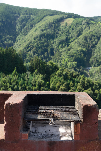
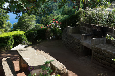
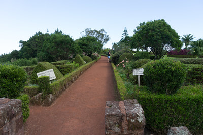
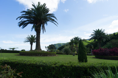
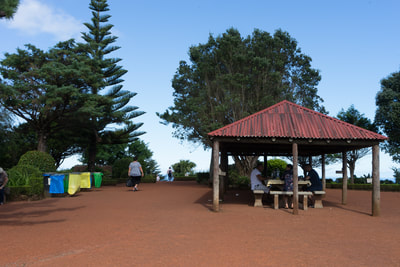
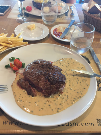
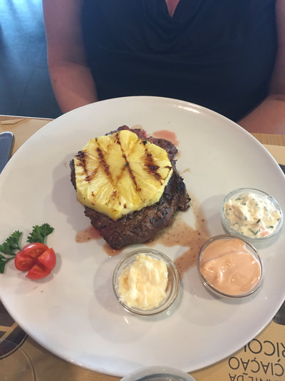
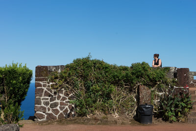
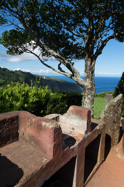
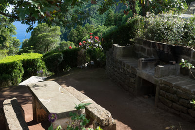
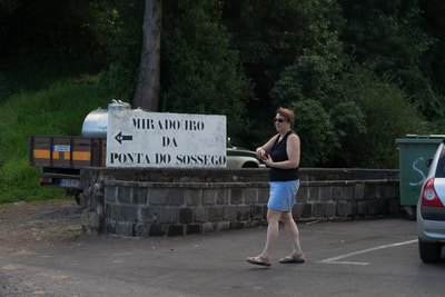
Yesterday after spending the morning by the pool we ventured out to explore areas yet unknown by us. We have been trying to get a good overview of the island knowing that a week is hardly enough time to really explore in depth so by getting a good overview we can see what areas we like the most for the next time. We had not yet traveled the east and north shores so that was our plan for the day. We started out going a familiar route since there are not that many road choices. We headed out to Furnas which we had gone to before. The road winds up into the mountains. Then it winds down back to the sea to our first stop of the day- Povoação. A very nice small city I would say, a little bigger from some of the other villages but charming all the same. It has a large harbor and of course the square. We sat and had pizza there in the square and then walked around a bit. Leaving Povoação we continued along the coast east and although we did not go to any more villages we continued to stop along the way at lovely vistas. These were Agau Retorta, Ponta Da Madrugada, Ponta Do Sassego, and along up to the top of the east coast. We have noticed that all over the island along the roads there are little parks. In the parks there are always these stone grills and they all have cats roaming around. They are fairly well maintained. On the east side at a few of these ponta's the parks were beautiful. We spent a lot of time at Sassego- the park and gardens were big and very clean. At Madrugada before the views also were breathtaking. See pictures below. We continued on our journey reaching the north shore just above Vila De Nordeste. This is also a larger town at the north eastern point of the island. Going around the tip we chose to continue for a bit on the local road running on the north shore going through the villages off Sao Pedro, Santo Antonio and Algarvia. Then we chose to get on the highway there which goes past the towns. By this time it was getting late and the local road takes twice a long.
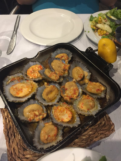
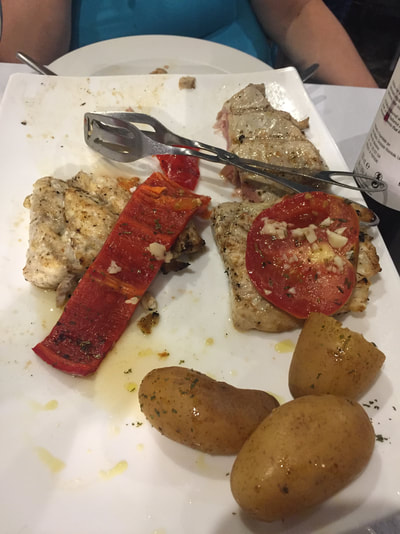
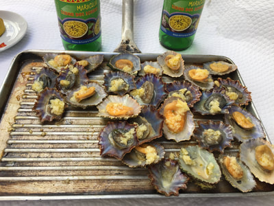
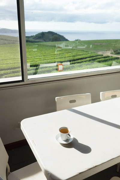
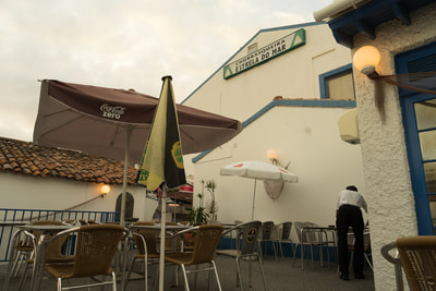
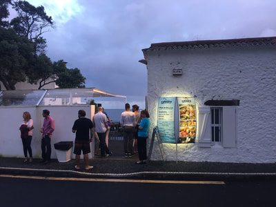
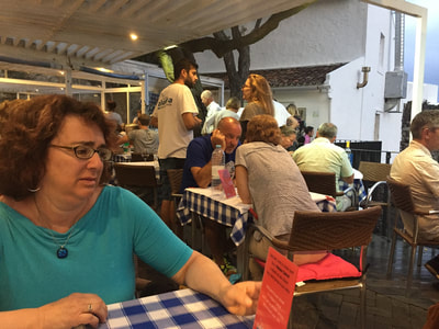
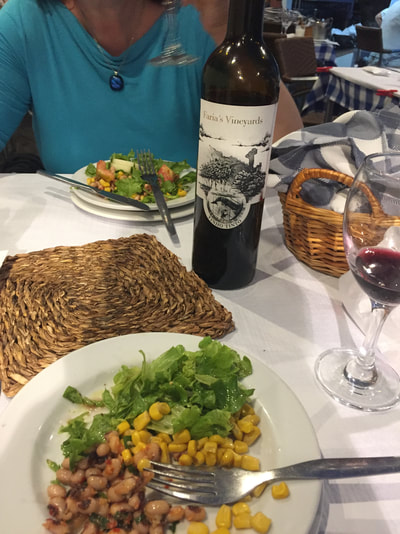
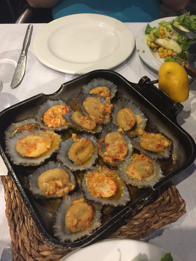
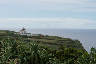
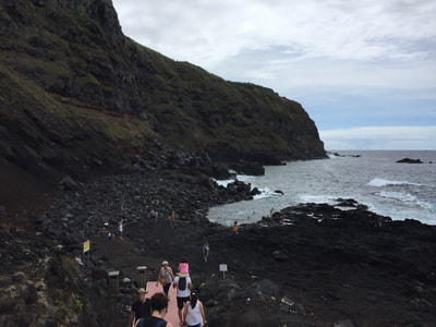
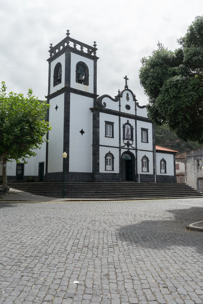
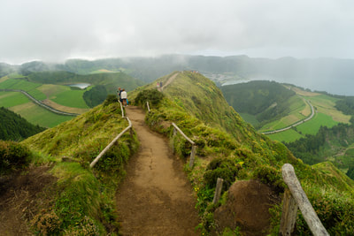
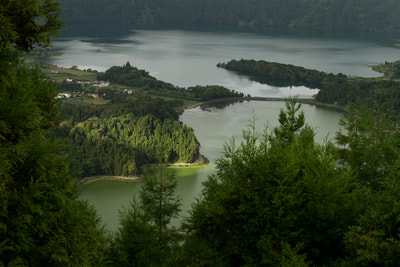
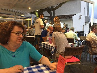
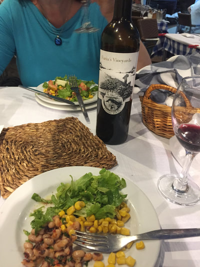
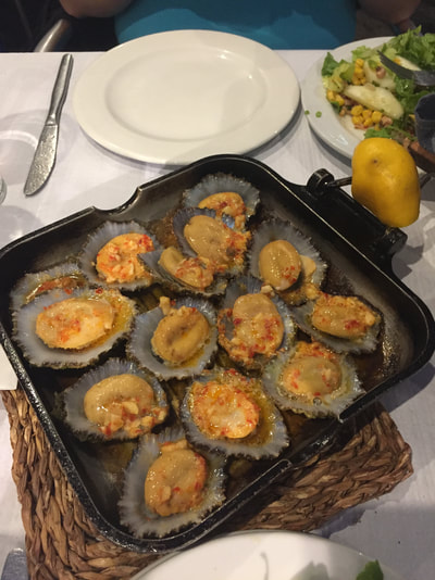
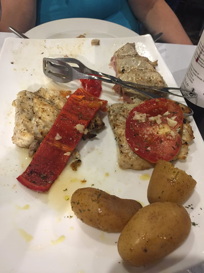
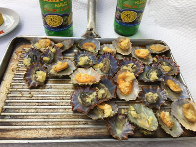
Our goal was to get to Ribeira Grande- a city on the north shore that we were told to check out. Along the way we did come upon a Tea Plantation and stopped briefly to sample, buy and walk among the tea. We arrived in Rib Grande and went to a restaurant that we had heard about. It was all about the beef and was located in the agricultural association building, A little weird but the food was pretty good. Beef is the next largest thing here to fish. After dinner we headed back home. Yesterday we set out soon after breakfast and went to the west side of the island. We took the road on the south up to the west end stopping at various places along the way. Very pretty of course as everything is here. Our first stop on the west was Ponta Da Ferraria. It is on the west side. First we stopped at the lighthouse and then onto the point. We were able to drive all the way down to the point where there was a restaurant and a hot springs pool. But we did not go swimming there. We then walked out to the point along a black gravel road. Everything around is black rock from the volcano. At the point at the ocean there was a little pool that people were swimming in. There were several of these along the way. I thought about going in but it was really rough and I heard cold so opted out. After that we continued along the west side to Mosteiros. That is a small village on the coast. Being Sunday it was quiet. A little square with a church. Every little village has a small square around the church. We were hungry and so had a quick bit at a local cafe- more like a food truck. Then we drove to Sete Cidades- Known as the Seven Cities. Here is the heart of the seven craters that developed due to the volcanos. There are 7 lakes or Lagoa. We spent most of the afternoon exploring the different lakes. Lagoa Azul and Lagoa Verde are near each other. There are roads and trails around the entire craters but we didn't hike them. But we did find two lookouts. One was a small hike up to the most amazing view I have ever seen. See pictures below. The other was off the road near an old hotel that was build years ago but didn't survive long. The entire area is so picturesque you just cannot believe or stop looking. We got back to the hotel and had a quick break before going out to dinner. There is a town near us- Caloura. It has a restaurant that was recommended highly. It is Bar Caloura and know for its fish. Its only a 10 minute drive from our hotel. So we went there. Great place, great atmosphere. Again we drank a bottle of local wine, ate grilled Limpets- those are great and fish. The waiter took us back to look at the fish and had us pick 2 types for grilling that we would share. We should have only picked one since it was too much food. We had tuna and Barracuda. Really good but we could only finish a little more than half. Drank all the wine though. This morning we are having a rest and will go out later. We are hoping to explore the north and east again. A week isn't long enough to be here as it is nice to have some quiet rest by the pool. I am off soon to swim in the ocean right next door as I haven't yet been in the ocean. More tomorrow.
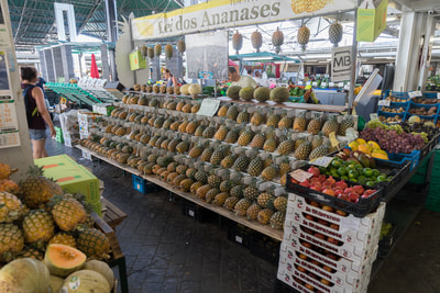
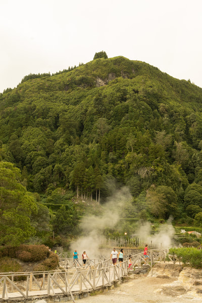
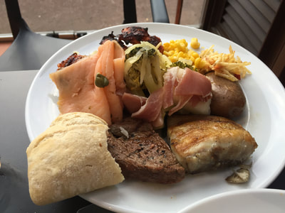
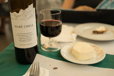
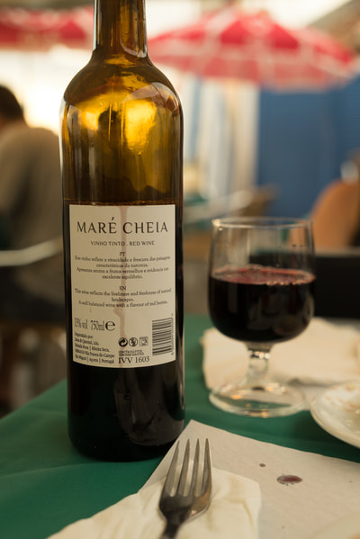
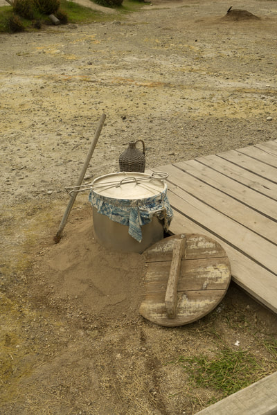
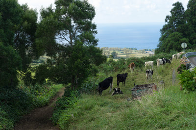
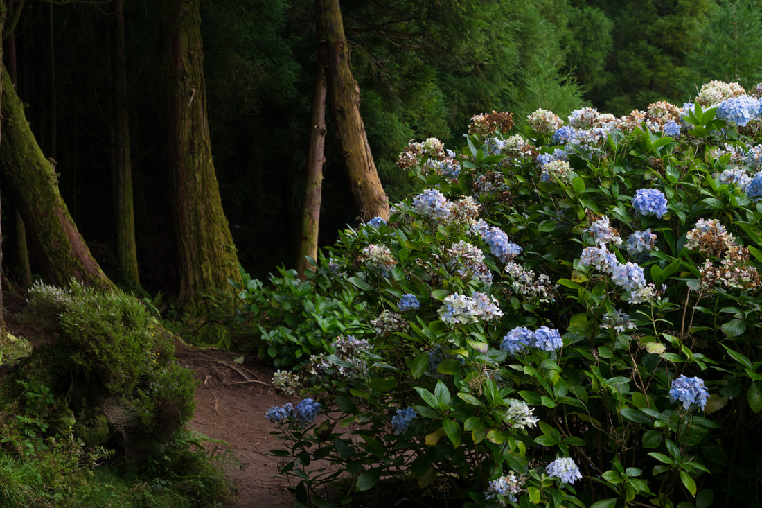
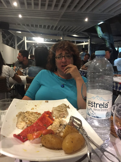
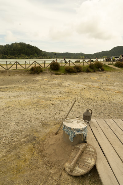
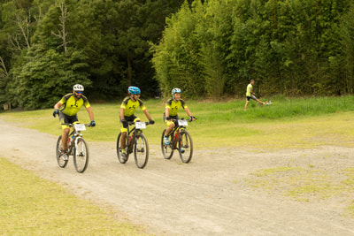
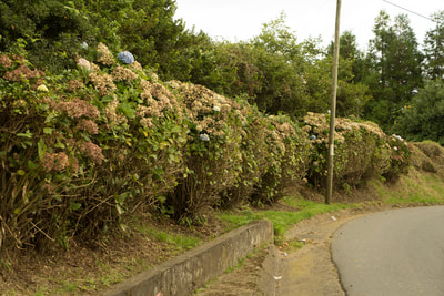
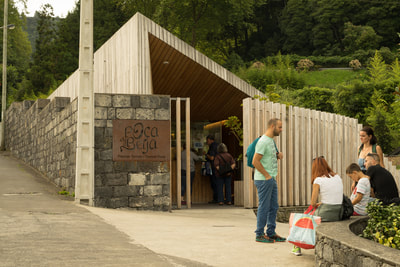
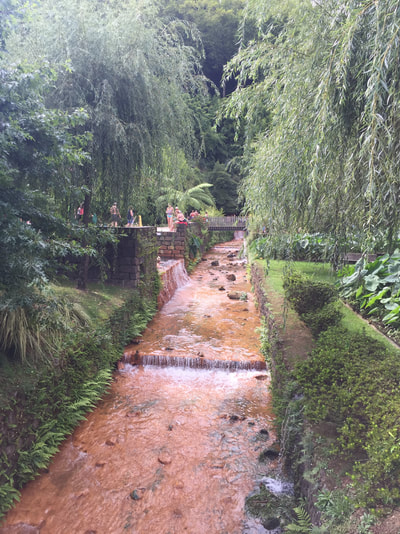
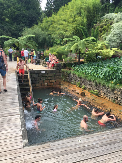
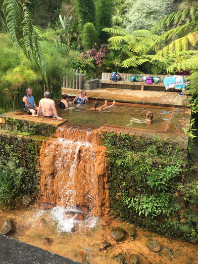
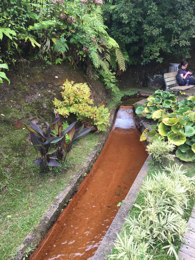
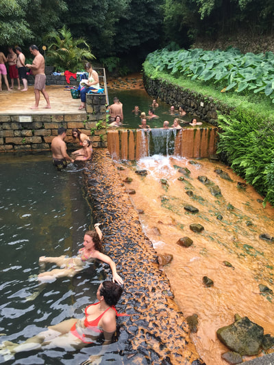
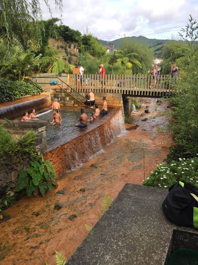
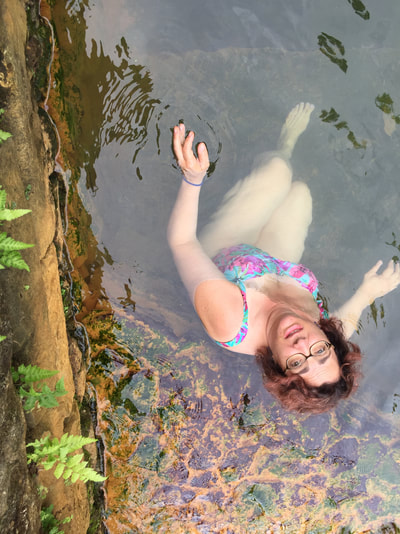
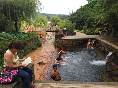
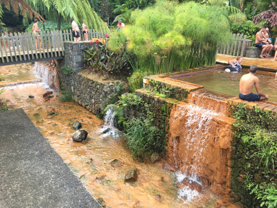
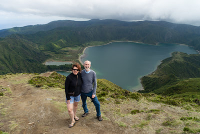
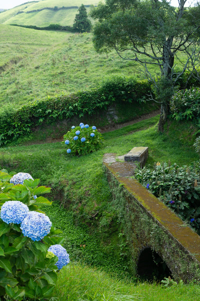
On Saturday we took a lazy morning hanging out by the pool and resting. But later in the afternoon we went out to explore. This time we traveled east up into the mountains again but going towards Furnas. Furnas must mean furnace as it is the center of the volcanic hot springs and sulpher sites. First we stopped at Caldieras. This is a place where they use the sulpher springs to cook. There is a closed off area where they dig holes in the ground, put in the food and it cooks from the heat from the ground. Very smelly also since it is a sulpher spring. There was also a bike race going on and we think that this was the end site. Lots of biking- more than I would do since the island is all hills and curves. The sulpher springs are also right at Lago da Furnas- a large lake that has different ducks and such. But no boats and not many people around it. After spending time there we went into Furnas. There are 2 different hot spring places there in Furnas and we wanted to find them. We were able to find them but parking was a different issue. For anyone that has been to southern Europe you know about the narrow roads, fast driving, small cars and no parking. Same here. We drove around for awhile until we finally found a fairly decent parking spot on the street- not just pulling up onto the curb at the side of the road like so many do. Seems there are really no parking rules here. We were then able to walk to one of the Spring places. It is called Poca Da Beija. It was crowded since it was a Saturday but there are a whole series of pools- 5 I think. Most are warm to hot- about 38 to 39 degrees C. One was cooler- 28 degrees. We enjoyed all of them. Some have waterfalls- well not really but like one in the pool. Everyone seemed to be really enjoying the pools, especially the children. Some with googles and learning to swim. After awhile it gets to you but then you can go to the cooler one to cool off. After that we decided to walk around and we found the other pool area. This one is in a hotel- We had almost stayed there. The hotel is in a garden and there is a natural pool there. We didn't go in this one as it was already late but instead took an afternoon took afternoon cocktails and snacks at their cafe. Very nice but we decided that we like our hotel on the beach better. The sound of the waves makes it all worthwhile. By this time it was starting to get later and we decided to head back towards our hotel and find a place for dinner. I don't think it would be too good to drive these roads at night. We had been told about a restaurant in the next town over- Vila Da Franco Campo and we decided to try to find it. We knew a little of the town but not where the place was, only that it was by the harbor. Again, small narrow roads, one ways, not knowing the language. Amazingly we came upon the place but then had to drive a bit more to try to find parking. It is like a maze to drive in these little villages with these very narrow streets. I remember when we were in Italy, we usually had to park at the start of the city and then walk. Here they let you drive but it would probably be better if you didn't. Anyway, the dinner was good. A nice bottle of good red local wine, fish and steak. Beef is a hugh industry here- hence all the cows. And of course there are many fish, most of which I have not heard of. I had Rock Fish. It came grilled on a platter- a whole fish- head and all. Sorry but again we forgot to take a picture before eating. We are enjoying the quiet of this island. People are friendly, most speak at least a little English. Very few Americans although we did meet a few yesterday. More tomorrow. The food below was actually from the night before at our hotel...Drive to Miradouro do Pico da Barrosa, and view of Lagoa de FogoSo our second day here was just lovely. Luckily we both slept about 12 hours the night before and we were ready to start exploring this really amazing and beautiful island. We knew we had a scheduled tour at 2pm so we got out knowing that we were a little time limited. But its a small island and we kept our sights realistic. Breakfast and coffee are included in our hotel. So nice to be able to just sit and relax in the morning and drink my latte. We drove up into the mountains not that far towards Lago De Fogo. Hard to describe the scenery but David has done a good job with pictures. The first thing we noticed is that Hydangeas grow everywhere along the road. Not native to his island they were brought here many years ago from Japan and have flourished like weeds. Although we are a little past season many are still in bloom. We understand that in May and June they are abundant. You can see some pictures here. They are also part of the hedges that separate the cow fields. Beef and dairy cows are a large part of the island. I wonder how the cows manage to stay upright when many times they are on steep places on the hillsides. Some of the landscape reminds me a bit of Ireland- there they had rock walls and sheep. Here it is hedges and cows. But the patchwork quilt look is the same and very beautiful. We drove up to Lago De Fogo pictured below. Because the island is made from volcanos there are craters and lakes. This is one of the big ones and the first one we have gotten to. We hiked to the top of the overlook which you can see in the picture of us below. Our white Peugot is also below. We were supposed to have a Smart car which we were looking forward to driving but when we arrived they didn't have any. So we have this but it is a standard which is not as easy to drive. Roads are good here and most cars are small which is more typical of Europe, not America. No SUV's. Caldeira Velha Hot SpringsAfter driving to the lake we continued onto these springs. You can see me in both the cooler one under the fall and the hotter one. I had already changed back when we went to the hot one. Since we were time limited we didn't stay long but there are several others springs we will be visiting later this week so I wasn't concerned. The picture in the middle is a spring of boiling water- and yes I did touch it to make sure. These are all natural springs coming from the lakes and heated by the volcanic temperatures. I think that they are also able to use Geo-thermal for power here as well. Ponta DelgadaWe had been offered a free Walking tour of Ponta Delgado on our package so we had decided to do that. We are not usually one for tours but this was nice. We were the only ones on the tour with our very nice and friendly guide Bernardo pictured below with me. He took us on a 2 hour walk through the old city pointing our many of the sites- churches, old homes and such. We also went up a tower that showed the whole city pictured below. It was hot and he kept us moving the whole time. We ended up at the City Farmer' Market that has pretty much anything and then to the cheese shop where Bernardo knows the owner and arranged for cheese tasting. After our tour we left Bernardo and had a break at a cafe. We ate Grilled Limpets and Drank Kami- Kami is a passionfruit soda. Local and very refreshing. Limpets are similar to clams. They were grilled with tons of garlic and lemon. Yummy.
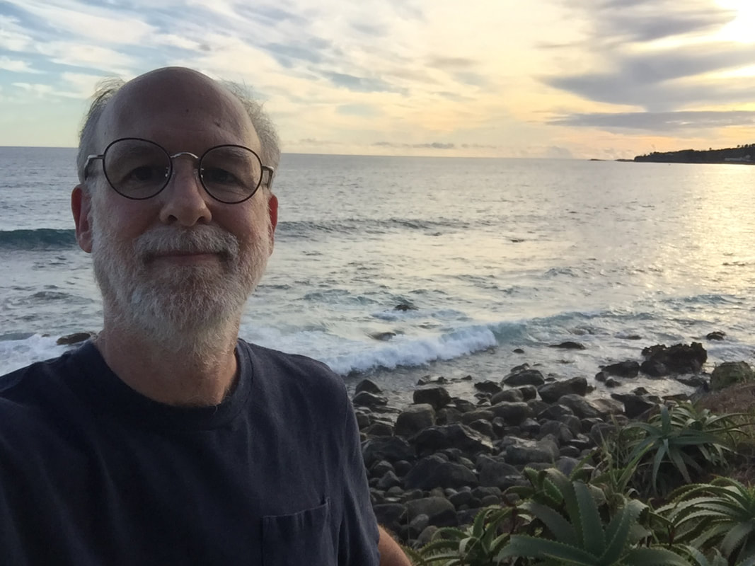
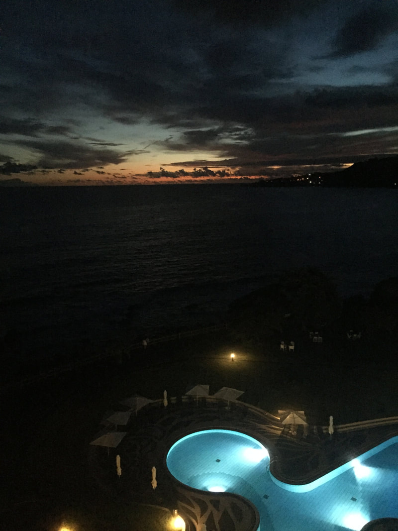
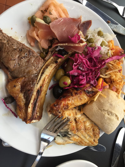
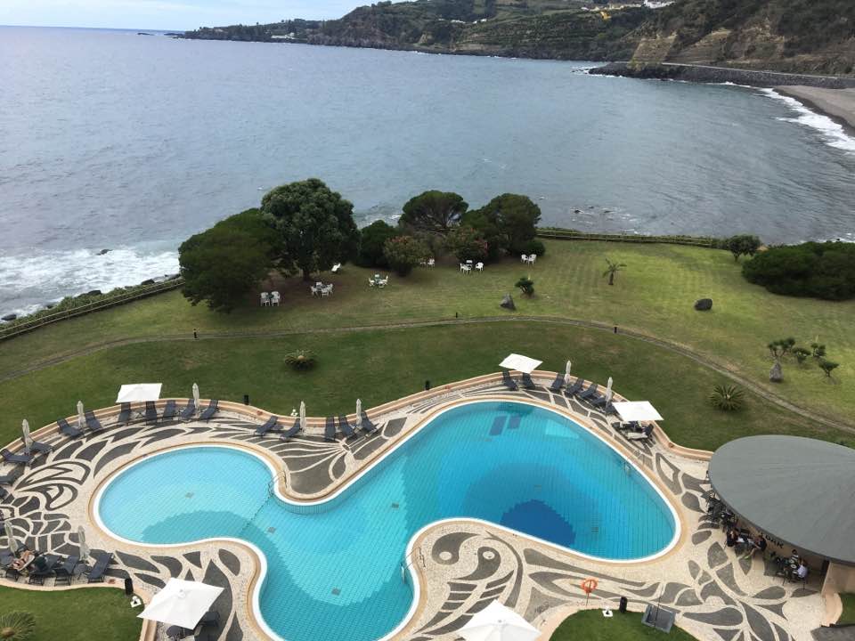
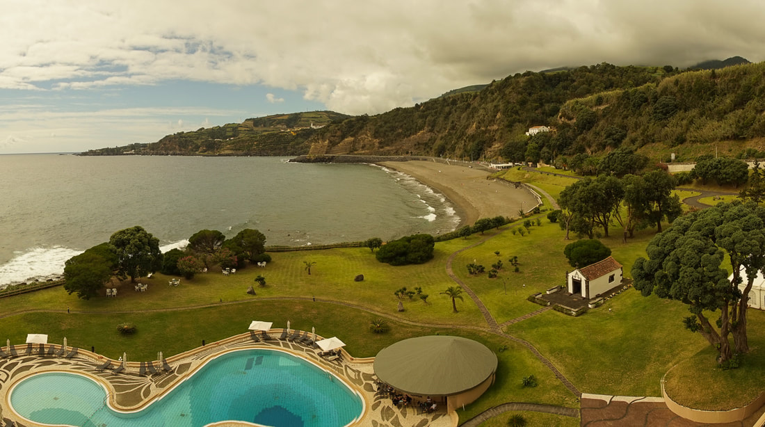
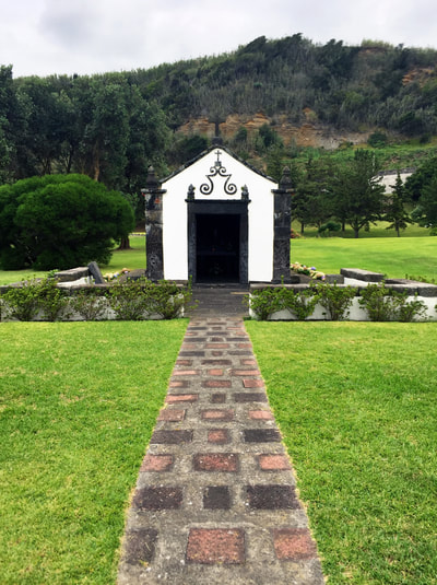
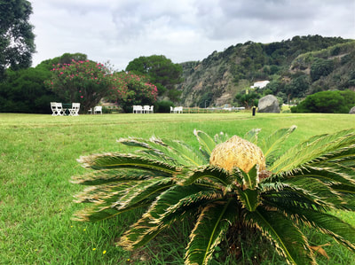
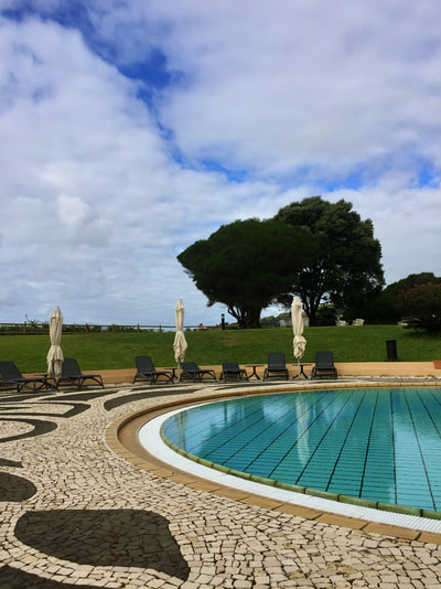
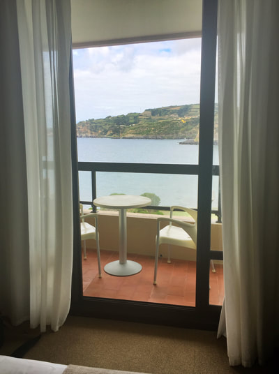
We came back to the hotel then and were happy to see that they were going to have a barbecue buffet that night. That was nice since we were tired and this meant we didn't have to go out. After a rest and a swim we had dinner and called it a night. As I sit here writing this block the sound of the ocean waves is a constant soothing sound. As we are right at the beach this sound is always with us. It is meditative and I think must be lowering my blood pressure. Much better than any sound machine it is with us whenever we are here. Such a wonderful sound. Tomorrow off for more. So it has been a long first day and we are still very tired but it is so beautiful here- just a bit of paradise. We arrived to the Azores very early this morning from Boston. Flight arrived here 6:00 am Azore time which was 2:00am NY time- and very little sleep. Our hotel is lovely- you will see a photo here soon and luckily we were able to get in our room a few hours earlier. And they upgraded us too so we have a little suite. People are very friendly- They speak English a bit which is good as Portuguese is a really different language- not at all like Spanish. So we are not going to do much today- just hanging out and enjoying both the view and the ocean sounds. No need for a sound machine here. Will write more tomorrow when we have done more than try to function. Below are some random iPhone snaps taken on the hotel ground while in a zombie trance.... David
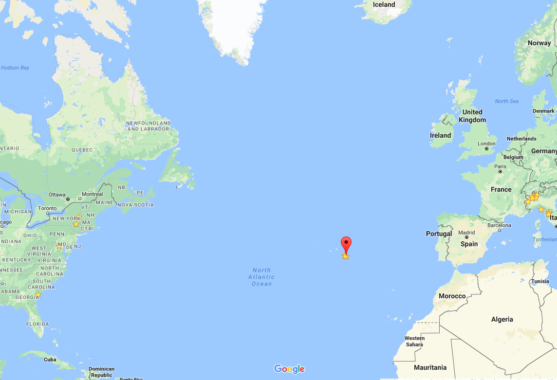
Found a nice little video by a couple who made a similar venture from Boston, but in the winter... it might be a <bit> more crowded in September... Oh, and spoiler alert! (for us as well...) In the middle of the Atlantic Ocean
Below is a click on interactive Google Map you can use to see more detail and navigate around. For us, it will be a 4:45 direct flight from Boston to Sao Miguel, four time zones away.
AzoresFrom Wikipedia, the free encyclopedia
This article is about the archipelago. For the area of high pressure, see Azores High. Azores (Açores) Autonomous Region (Região Autónoma) Mount Pico and the green landscape, emblematic of the archipelago of the Azores Flag Coat of arms Official name: Região Autónoma dos Açores Name origin: açor, Portuguese for species of raptor, erroneously identified as goshawks; also derivation from the word for blue Motto: Antes morrer livres que em paz sujeitos (English: "Rather die as free men than be enslaved in peace") Country Portugal Autonomous Region Azores RegionAtlantic Ocean SubregionMid-Atlantic Ridge PositionAzores Platform IslandsCorvo, Faial, Flores,Graciosa, Pico, São Jorge,São Miguel, Santa Maria,Terceira MunicipalitiesAngra do Heroísmo,Calheta, Horta, Lagoa,Lajes das Flores,Lajes do Pico, Madalena,Nordeste, Povoação,Praia da Vitória,Ponta Delgada,Ribeira Grande,Santa Cruz da Graciosa,Santa Cruz das Flores,São Roque, Velas,Vila do Corvo, Vila do Porto,Vila Franca do Campo CapitalPonta Delgada[1] Largest cityPonta Delgada - centerSão José - elevation22 m (72 ft) - coordinates37°44′28″N 25°40′32″WCoordinates: 37°44′28″N 25°40′32″W Highest pointMount Pico - elevation2,351 m (7,713 ft) - coordinates38°28′19″N 28°51′50″W Lowest pointSea level - locationAtlantic Ocean - elevation0 m (0 ft) Area2,333 km2 (901 sq mi) Population245,746 (2012) Census 2011 Density105.87/km2 (274/sq mi) Settlement15 August 1432 - Administrative autonomyc. 1895 - Political autonomy4 September 1976 Discoveryc. 1427 - Santa Mariac. 1427 - São Miguelc. 1428 Management - locationAssembleia Regional, Rua Marcelino Lima, Horta, Faial - elevation46 m (151 ft) - coordinates38°32′6″N 28°37′51″W Government - locationPalácio de Santana, Rua José Jácome Correia, Ponta Delgada, São Miguel - elevation60 m (197 ft) - coordinates37°44′52″N 25°40′19″W President (Government)Vasco Cordeiro (PS) - President (Assembleia)Ana Luís (PS) TimezoneAZOT (UTC−1) - summer (DST)AZOST (UTC) ISO 3166-2 codePT-20 Postal code9XXX-XXX Area code(+351) 29X XX XX XX[2] ccTLD.pt Date formatdd-mm-yyyy Driveright-side DemonymAzorean Patron SaintEspírito Santo Holiday51st day (Monday) following Easter (Dia da Região Autónoma dos Açores) AnthemA Portuguesa (national) Hino dos Açores (regional) CurrencyEuro (€)[3] GDP (nominal)2013 - Total€ 3,694 million[4] - Per capita€ 14,900[4] Location of the Azores relative to Portugal (green) and the rest of the European Union (dark blue) Distribution of the islands of the archipelago Wikimedia Commons: Azores Statistics: Instituto Nacional de Estatística[5] Website: www.azores.gov.pt Geographic detail from CAOP (2010)[6] produced by Instituto Geográfico Português (IGP)The Azores (/əˈzɔərz/ ə-ZOHRZ or /ˈeɪzɔərz/ AY-zohrz; Portuguese: Açores, [ɐˈsoɾɨʃ]), officially the Autonomous Region of the Azores(Região Autónoma dos Açores), is one of the two autonomous regions of Portugal, an archipelago composed of nine volcanic islandsin the North Atlantic Ocean about 1,360 km (850 mi) west of continental Portugal, about 1,643 km (1,021 mi) west of Lisbon, in continental Portugal, about 1,507 km (936 mi) from the African coast, and about 1,925 km (1,196 mi) southeast of Newfoundland, Canada. Its main industries are agriculture, dairy farming, livestock, fishing, and tourism, which is becoming the major service activity in the region. In addition, the government of the Azores employs a large percentage of the population directly or indirectly in the service and tertiary sectors. The main settlement of the Azores is Ponta Delgada. There are nine major Azorean islands and an islet cluster, in three main groups. These are Flores and Corvo, to the west; Graciosa, Terceira, São Jorge, Pico, and Faial in the centre; and São Miguel, Santa Maria, and the Formigas Reef to the east. They extend for more than 600 km (370 mi) and lie in a northwest-southeast direction. All the islands have volcanic origins, although some, such as Santa Maria, have had no recorded activity since the islands were settled. Mount Pico, on the island of Pico, is the highest point in Portugal, at 2,351 m (7,713 ft). If measured from their base at the bottom of the ocean to their peaks, which thrust high above the surface of the Atlantic, the Azores are actually some of the tallest mountains on the planet. The climate of the Azores is very mild for such a northerly location, being influenced by its distance from the continents and by the passing Gulf Stream. Due to the marine influence, temperatures remain mild year-round. Daytime temperatures normally fluctuate between 16 °C (61 °F) and 25 °C (77 °F) depending on season.[7][8] Temperatures above 30 °C (86 °F) or below 3 °C (37 °F) are unknown in the major population centres. It is also generally wet and cloudy. The culture, dialect, cuisine, and traditions of the Azorean islands vary considerably, because these once-uninhabited and remote islands were settled sporadically over a span of two centuries. |
ArchivesCategories
All
My Flickr Images Tagged "Azores"
Authors/
|











 RSS Feed
